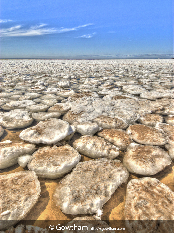
Gusting winds off the Lake Superior from north/west/northwest over the last few days have been pushing large chunks of ice almost all along the western shoreline of the Keweenaw Peninsula.
While few tens of feet into the lake in most places, the icebergs/ice chunks extended at least the length of a football field into the lake near the mouth of Owl Creek in Great Sand Bay.
EXIF and other information
| Archive ID | n2c_113-4423 |
| Date and Time | 2014-05-14 15:30:48 |
| GPS Date and Time | Image does not include relevant information |
| GPS Location | 47.44611 N, -88.21687 E, 610 ft (Goolgle Map: Pin | Directions) |
| Camera | Nikon D200 |
| Lens | AF-S DX Zoom-Nikkor 12-24mm f/4G IF-ED |
| Focal Length | 12.0 mm (35 mm equivalent: 18.0 mm) |
| Mode | Aperture-priority AE |
| Shutter Speed | 1/320 second(s) |
| Aperture | f/11.0 |
| ISO | 100 |
| Exposure Bias | 0 |
| Flash | No |
| Filters | None |
| Light Value | 15.2 |
| Hyperfocal Distance | 0.65 m |
| Focus Distance | 2.82 m |
| Depth of Field | inf (0.53 m - inf) |
| Field of View | 89.8 deg (5.61 m) |
| Tripod | No |
| Notes/Remarks | ±2 stop and HDR using Photomatix Pro |


