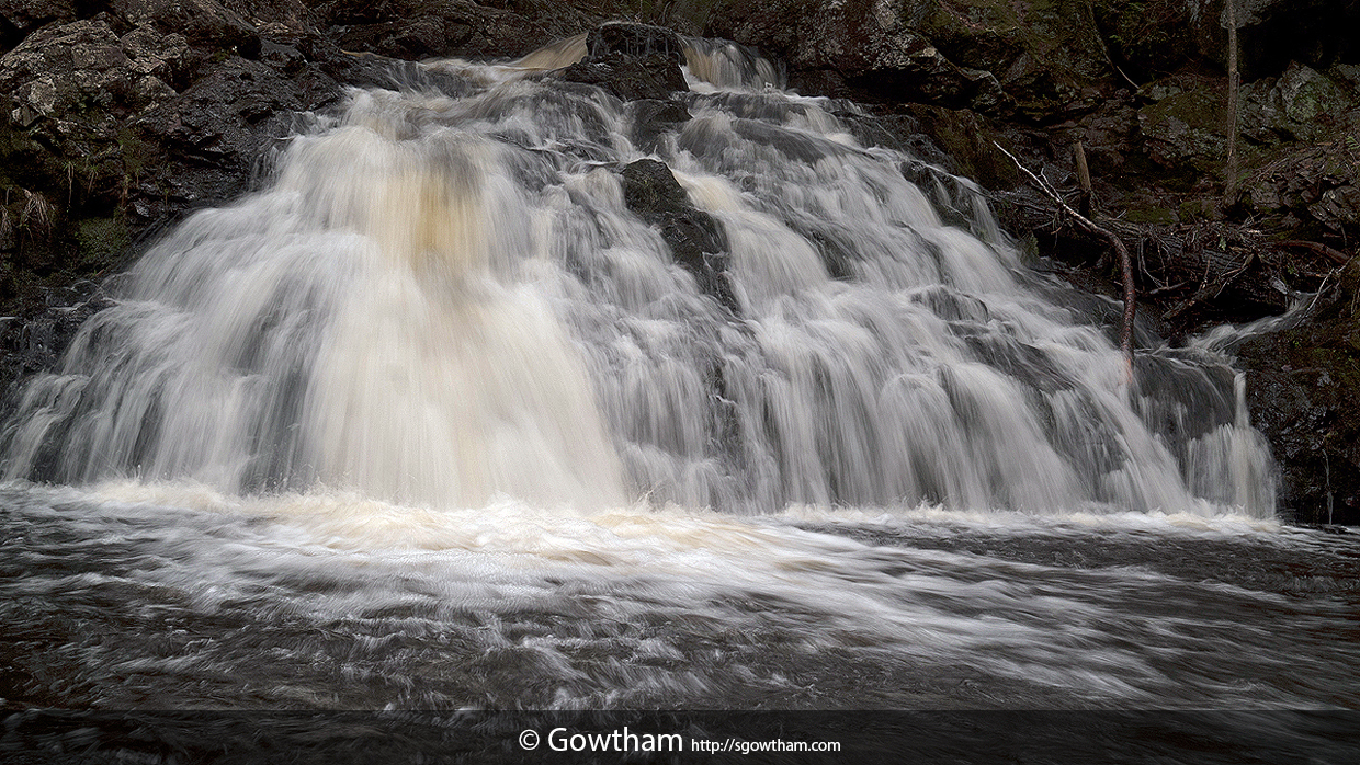
A moderate 2.5 mile (one way) hike to the interiors of Porcupine Mountains Wilderness State Park along the Government Peak trail that starts off of M-107 (i.e., 107th Engineers Memorial Highway) is punctuated with several long n’ narrow footbridges across swampy areas and some short n’ wide bridges across creeks.
At about the 1.4 mile mark, the trail makes its way to the top of a gorge and for the next mile or so, lines alongside the Carp River. Several roaring rapids later, the Govt. Peak Trail leads to an unmarked, yet easily identifiable Trap Falls.
The trail in part was very slippery, washed out, had snow and fallen trees, but for the most part is shaded by hemlocks, pines & hardwoods and lined up with a plethora of wild flowers – Trout Lilies, Spring Beauties, Dutchman’s Breeches, Bloodroots, and more – making it a very scenic and enjoyable hike.
Thanks be to
Dear friend, Eric Hackney for the directions.
EXIF and other information
| Archive ID | n2c_113-0492 |
| Date and Time | 2013-05-27 13:53:42 |
| GPS Date and Time | Image does not include relevant information |
| GPS Location | 46.79219 N, -89.69054 E, 1355 ft (Goolgle Map: Pin | Directions) |
| Camera | Nikon D200 |
| Lens | AF-S DX Zoom-Nikkor 17-55mm f/2.8G IF-ED |
| Focal Length | 38.0 mm (35 mm equivalent: 57.0 mm) |
| Mode | Manual |
| Shutter Speed | 1/8 second(s) |
| Aperture | f/8.0 |
| ISO | 100 |
| Exposure Bias | 0 |
| Flash | No |
| Filters | Two ND2 |
| Light Value | 9.0 |
| Hyperfocal Distance | 9.01 m |
| Focus Distance | 5.01 m |
| Depth of Field | 7.96 m (3.23 - 11.19) |
| Field of View | 34.8 deg (3.14 m) |
| Tripod | No |
| Notes/Remarks | -- |


