Amongst other things, I have the habit of keeping a detailed track of where I have been and for this purpose, I use my Garmin GPSMap 60CSx. I have configured this GPS to save track information every 3 seconds. If this information can be written in KML format, then the tracks can be visualized using Google Earth.
Part #0: GPS Tracks ? MySQL
Please refer to this post. For the sake of partial completeness, the MySQL table structure is given below:
1 2 3 4 5 6 7 8 9 10 | CREATE TABLE IF NOT EXISTS `DATABASE`.`TRK` ( `id` int( 11 ) NOT NULL AUTO_INCREMENT PRIMARY KEY , `latitude` float NULL , `longitude` float NULL , `altitude` float NULL , `date` date NULL , `time` time NULL ) ENGINE = MYISAM DEFAULT CHARSET latin1 AUTO_INCREMENT=1 ; CREATE UNIQUE INDEX lldt ON `DATABASE`.`TRK` (`latitude`,`longitude`,`date`,`time`); |
Part #1: MySQL ? KML
Save the following into a file, mysql2kml.php and put in appropriate values for username, password, database name, start_date and end_date.
1 2 3 4 5 6 7 8 9 10 11 12 13 14 15 16 17 18 19 20 21 22 23 24 | <!--?php # Connect to the database $host = 'localhost'; $dbuser = 'USERNAME'; $dbpasswd = 'PASSWORD'; $database = 'DATABASE'; $connect = mysql_connect($host, $dbuser, $dbpasswd) or die('<b>MySQL Connection Error:</b> ' . mysql_errno() . ': ' . mysql_error()); mysql_select_db($database, $connect) or die('<b>Database Connection Error:</b> ' . mysql_errno() . ': ' . mysql_error()); # The standard header - refer to Google Earth / KML documentation to modify it print <<<EOF <?xml version="1.0" encoding="UTF-8"?--> Points with TimeStamps |
#check-hide-children\n EOF; # Set Start & End Date values – set both of them to same # if you need a specific day $start_date = ‘2009-08-07’; $end_date = ‘2009-08-09’; $sql1 = “SELECT * FROM `DATABASE`.`TRK` “; $sql1 .= “WHERE date BETWEEN ‘$start_date’ AND ‘$end_date’ “; $sql1 .= “ORDER BY date, time”; $result1 = mysql_query($sql1) or die(‘Invalid Query : ‘ . mysql_errno() . ‘ : ‘ . mysql_error()); $nresults = mysql_num_rows($result1); while ($myrow = mysql_fetch_array($result1)) { $date = $myrow[‘date’]; $time = $myrow[‘time’]; $latitude = $myrow[‘latitude’]; $longitude = $myrow[‘longitude’]; $altitude = $myrow[‘altitude’]; $date = mysql_real_escape_string($date); $time = mysql_real_escape_string($time); $latitude = mysql_real_escape_string($latitude); $longitude = mysql_real_escape_string($longitude); $altitude = mysql_real_escape_string($altitude); $datetime = $date . “T” . $time .”Z”; if( “$date” !== “0000-00-00”) { print <<$datetime#blue-dot$longitude,$latitude,$altitude\n EOF; } } print <<
1 | EOF; ?> |
Run this file as
1 | `which php` mysql2kml.php > 20090807_20090809.kml |
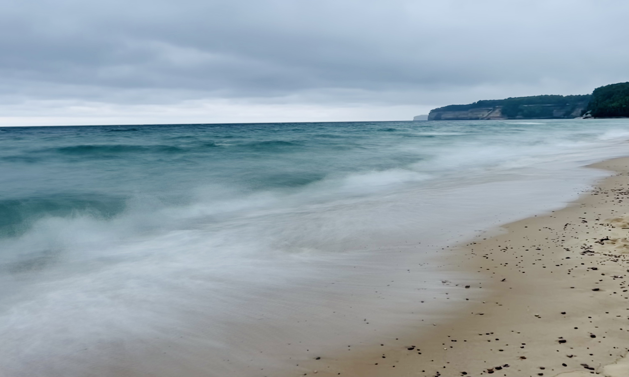
If all goes well, the file 20090807_20090809.kml should be written out and be waiting for you. Try a sample file, if you wish – 20090809.kml should be openable in Google Earth and should display something like below:

Update (2009.11.30)
Use the following MySQL table structure and accompanying PHP script for better performance.
1 2 3 4 5 6 7 8 9 10 | CREATE TABLE IF NOT EXISTS `MyDatabase`.`TRK` ( `id` int( 11 ) NOT NULL AUTO_INCREMENT PRIMARY KEY , `latitude` float NOT NULL DEFAULT '0' , `longitude` float NOT NULL DEFAULT '0' , `altitude` float NOT NULL DEFAULT '0' , `date_time` float NOT NULL DEFAULT '0000-00-00 00:00:00' ) ENGINE = MYISAM DEFAULT CHARSET latin1 AUTO_INCREMENT=1 ; CREATE UNIQUE INDEX dt ON `MyDatabase`.`TRK` (`date_time`); CREATE UNIQUE INDEX lldt ON `MyDatabase`.`TRK` (`latitude`,`longitude`,`date_time`); |
1 2 3 4 5 6 7 8 9 10 11 12 13 14 15 16 17 18 19 20 21 22 23 24 | <!--?php # Connect to the database $host = 'localhost'; $dbuser = 'USERNAME'; $dbpasswd = 'PASSWORD'; $database = 'DATABASE'; $connect = mysql_connect($host, $dbuser, $dbpasswd) or die('<b>MySQL Connection Error:</b> ' . mysql_errno() . ': ' . mysql_error()); mysql_select_db($database, $connect) or die('<b>Database Connection Error:</b> ' . mysql_errno() . ': ' . mysql_error()); # The standard header - refer to Google Earth / KML documentation to modify it print <<<EOF <?xml version="1.0" encoding="UTF-8"?--> Points with TimeStamps |
#check-hide-children\n EOF; # Set Start & End Date values – set both of them to same # if you need a specific day $start_date = ‘2009-08-07’; $end_date = ‘2009-08-09’; $sql1 = “SELECT * FROM `DATABASE`.`TRK` “; $sql1 .= “WHERE DATE(date_time) BETWEEN ‘$start_date’ AND ‘$end_date’ “; $sql1 .= “ORDER BY date_time “; $result1 = mysql_query($sql1) or die(‘Invalid Query : ‘ . mysql_errno() . ‘ : ‘ . mysql_error()); $nresults = mysql_num_rows($result1); while ($myrow = mysql_fetch_array($result1)) { $date_time = $myrow[‘date_time’]; $latitude = $myrow[‘latitude’]; $longitude = $myrow[‘longitude’]; $altitude = $myrow[‘altitude’]; $date_time = mysql_real_escape_string($date_time); $latitude = mysql_real_escape_string($latitude); $longitude = mysql_real_escape_string($longitude); $altitude = mysql_real_escape_string($altitude); list($date, $time) = split(” “, $date_time); $datetime = $date . “T” . $time .”Z”; if( “$date” !== “0000-00-00”) { print <<$datetime#blue-dot$longitude,$latitude,$altitude\n EOF; } } print <<
1 | EOF; ?> |